
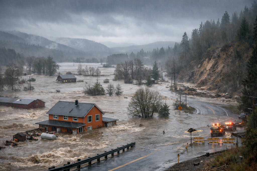
Image Credentials: Image Title: Pacific Northwest Floods: Dangers Persist as Rivers Hit Record Levels Source: (sora.openai) Date: December 2025. Attribution: This image was created using AI-generated imagery (sora.openai) and does not depict a real-world scene.
By Open Chronicle Staff with Agencies | December 21, 2025
PORTLAND, Ore. — A precarious flood watch remains in effect across the greater Portland area, western Oregon, and southwestern Washington as a relentless series of storms continues to batter the Pacific Northwest. While some evacuation orders were lifted late Friday, meteorologists warn that saturated soils and swollen river basins pose an ongoing threat to life and property.
According to the National Weather Service (NWS), the current flood watch is expected to last through Sunday afternoon. The region has been doused by an unusually powerful atmospheric river—a “river in the sky” of dense moisture that has dumped between 3 and 10 inches of rain in various locations over the past week.
Historic Crests and Deadly Conditions
The Clackamas River became the epicenter of the crisis early Friday morning when it reached a historic crest of 26.25 feet, shattering the previous record of 25.52 feet set in 1972. Although water levels have begun to recede slightly, the river remains well above its major flood stage of 25 feet.
The human toll of the storms has also become clearer. At least one fatality has been confirmed in western Oregon, where a victim was trapped by weather-related damage. In neighboring Washington state, a driver was found dead in a submerged vehicle near Seattle earlier this week, marking the first reported death of the storm cycle.
-
Landslide Alerts: Officials have issued high-level warnings for debris flows, particularly in the Coast Range and the Cascade foothills. A massive slide has already blocked Highway 229 near Siletz, isolating local tribal properties and residents.
-
Urban Flooding: In Portland, the Willamette River reached “Action Stage” (17 feet), with NWS forecasters monitoring low-lying industrial zones and Waterfront Park for potential inundation.
Rescues and Resilience
Despite the danger, emergency crews have been working around the clock. The U.S. Coast Guard recently conducted a dramatic airlift of four people in the Sumas area as floodwaters rose. Meanwhile, at least 100,000 residents across the PNW have faced some level of evacuation order since the storms intensified on December 8.
| Vulnerable Waterways | Current Status | Notable Impact |
| Clackamas River | Receding slowly | Set record crest of 26.25 ft. |
| Sandy River | Minor flood stage | Threatening residential roads near Troutdale. |
| Snoqualmie River | Major flooding | Highest levels in over a decade (17.8 ft). |
| Johnson Creek | Crested Friday | Minor flooding reported in SE Portland. |
Looking Ahead
Forecasters expect “off-and-on shower activity” to continue through Sunday night. While the intensity of the rain is decreasing compared to the “deluge” seen on Thursday, the sheer volume of water already in the system means rivers will remain dangerously high for several days.
In a strange twist of the weather, some local thrill-seekers were seen at Gladstone’s High Rocks Park, utilizing the record-breaking flows for whitewater kayaking—a move authorities have strongly discouraged due to the high volume of woody debris and unpredictable currents currently clogging the waterways.
Pacific Northwest Floods Historic Crests. This video captures the scale of the early December flooding and provides visual context for the record-breaking river rises discussed in the article.