
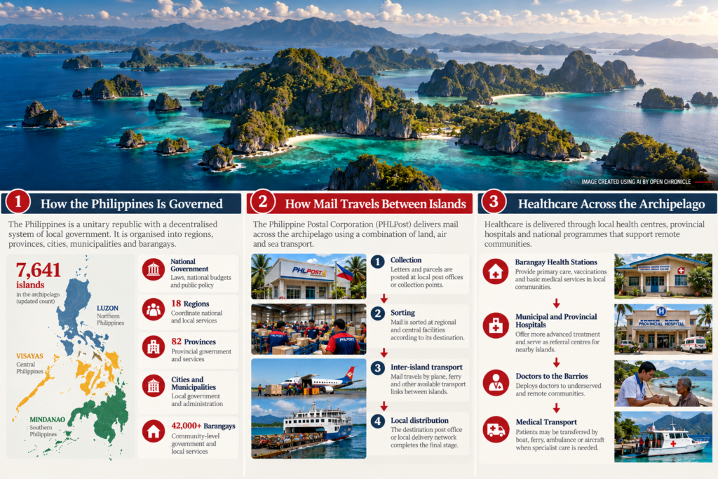
From postal deliveries and healthcare to schools, local government and maritime transport, how an archipelagic nation keeps thousands of islands connected.
By Open Chronicle Explained
Geography & Government · How the World Works · October 17, 2026
Introduction — A Country Divided by the Sea
Imagine living in a country where reaching the nearest hospital might require a boat journey, where delivering a letter can involve crossing several islands, and where a government official may need to travel by sea simply to visit another community within the same province.
For millions of Filipinos, the sea is not merely a geographical feature. It is part of everyday life.
The Philippines is one of the world’s great archipelagic nations. Its territory extends across thousands of islands, from the mountains and plains of Luzon in the north to the tropical islands of the Visayas and the vast landscapes of Mindanao in the south.
Some islands contain major cities, international airports, universities and advanced hospitals. Others support small fishing communities connected to the outside world by occasional boats.
Yet all form part of a single republic.
How does a government administer such a fragmented territory? Who delivers the mail? How are doctors, teachers, medicines, police officers and public funds distributed? And what happens when storms interrupt the connections between islands?
The answers reveal an extraordinary relationship between geography, infrastructure and the organisation of the modern state.
1. How Many Islands Does the Philippines Have?
THE PHILIPPINE ARCHIPELAGO
7,641 islands
The widely used official count, updated from the historical figure of 7,107.
For generations, schoolbooks described the Philippines as a country of 7,107 islands.
Advances in mapping, geographic information systems and coastal surveys led to the adoption of the updated figure of 7,641.
The count should not be interpreted as 7,641 inhabited islands. Many are small, isolated or uninhabited, and the precise identification of islands depends on cartographic criteria.
Geographically, the country is commonly divided into three broad island groups: Luzon, the Visayas and Mindanao.
The Three Great Island Groups
The Philippine archipelago is commonly divided
into three major geographical island groups.
Luzon · Visayas · Mindanao
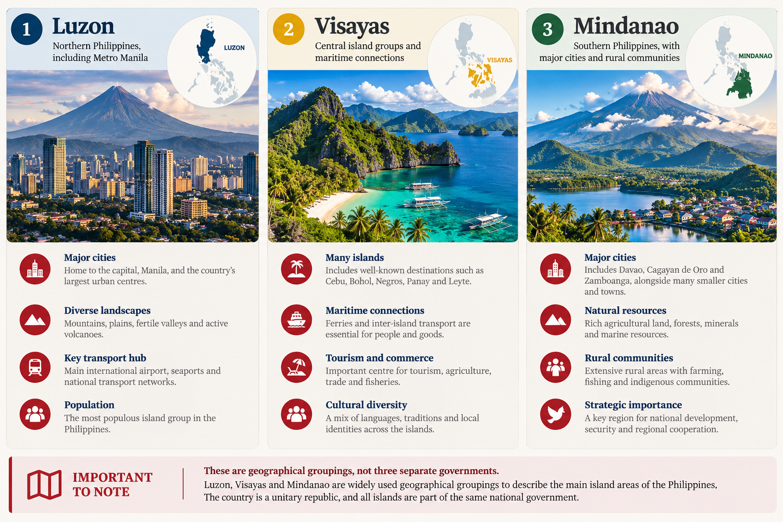
Editorial illustration of the three geographical
island groups. Not a political or administrative map.
These are geographical groupings, not three separate governments.
·
UNDERSTAND HOW THE WORLD WORKS
2. How Is the Country Administratively Organised?
The Philippines is a unitary republic with a decentralised system of local government.
National institutions establish laws and national policy, while local government units perform responsibilities within their jurisdictions.
The administrative structure has several levels.
How the Philippines Is Governed
The administrative structure has several levels, connecting national institutions with provincial, municipal and community administration across the archipelago.
National Government
Laws, national budgets, public policy and central agencies.
Regions
Coordination and regional offices of national agencies.
Provinces
Provincial government and services.
Cities and Municipalities
Local government and everyday public administration.
Barangays
Community-level administration and local services.
The Philippines does not administer each island as a separate political unit. Instead, islands and communities belong to established local government jurisdictions. Regions generally coordinate national administration rather than form an additional ordinary elected level of local government. The Bangsamoro Autonomous Region has a distinct autonomous governmental framework.
3. How Does the Government Reach Remote Islands?
The answer begins with local administration.
National ministries do not need to send an official from Manila every time a village requires a public service.
Instead, responsibilities are distributed among local governments, regional offices, provincial institutions and national agencies.
A municipal government can coordinate services within its territory. Provincial authorities may support services across several municipalities. National departments establish programmes, standards and funding arrangements.
But the system depends on transportation.
An official cannot inspect a school, deliver medical equipment or supervise infrastructure on another island without some means of reaching it.
This makes ports, ferries, roads and airports part of the administrative infrastructure of the country.
4. How Does the Postal Service Work Across Thousands of Islands?
Consider a letter posted in Manila and addressed to someone living on a smaller island in the Visayas.
Its journey may involve several stages.
How Mail Travels Between Philippine Islands
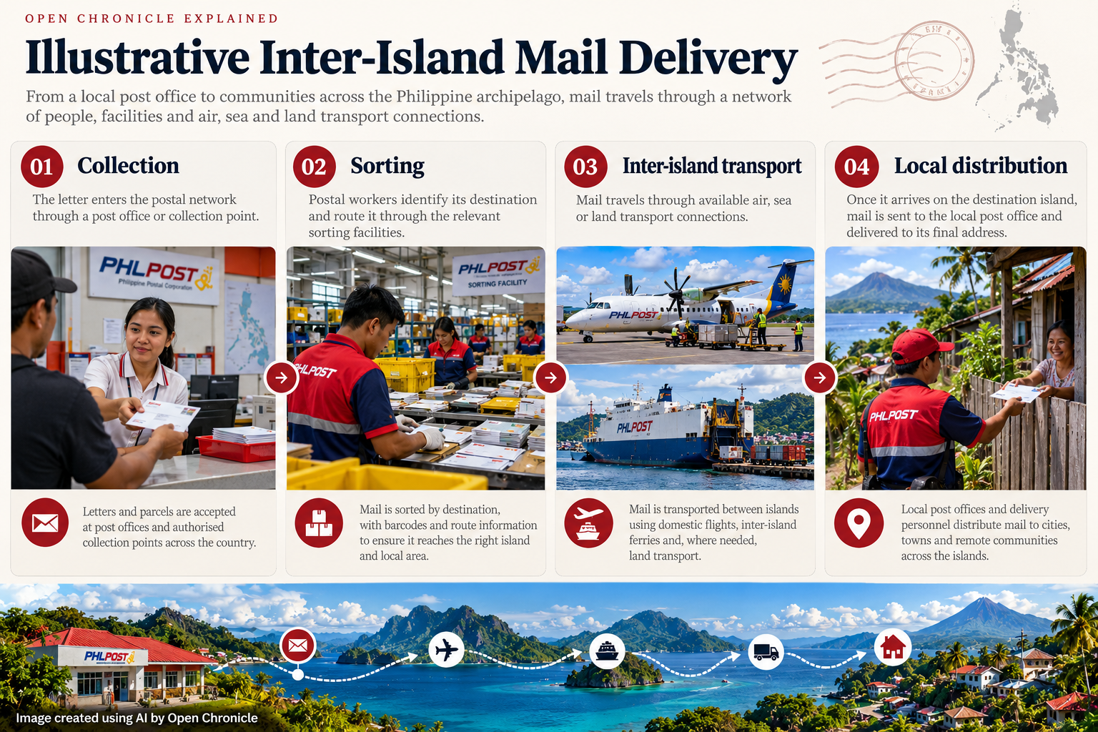
Editorial illustration of a possible inter-island
postal delivery process. Actual routes and transport
arrangements may differ.
The destination postal office or delivery network handles the final stage.
This is a simplified example, not a documented route for a particular letter.
The Philippine Postal Corporation, commonly known as PHLPost, maintains a nationwide network of postal facilities.
However, a nationwide network does not mean that every island has its own post office or receives mail daily.
Delivery frequency and methods depend on local infrastructure, population, available transport and operational conditions.
Typhoons, damaged ports and interrupted ferry services can delay delivery.
The postal system illustrates a wider principle: a government service may be nationally organised, but its practical availability depends on local geography.
5. How Is Healthcare Delivered to Isolated Islands?
Healthcare presents an even greater challenge.
A delayed letter is inconvenient. A delayed medical evacuation can be life-threatening.
The Philippine healthcare system relies on a combination of local health facilities, public hospitals, national health programmes and healthcare professionals deployed to underserved communities.
In larger cities, residents may have access to specialist hospitals and sophisticated medical equipment.
On a remote island, the nearest available facility may provide only primary healthcare.
For more complex treatment, a patient may need to travel to another island.
This creates three connected challenges: the availability of healthcare professionals, the capacity of local facilities and the reliability of patient transport.
One government response is the Doctors to the Barrios programme, which assigns doctors to communities that struggle to attract medical professionals.
In March 2026, authorities announced the deployment of 290 physicians under the programme, prioritising underserved locations.
Mobile health teams and outreach programmes also help deliver vaccinations, consultations and preventive services to communities that are difficult to reach.
Yet physical distance remains important. A medical system can have a national administrative structure without guaranteeing identical access to healthcare everywhere.
6. What Happens During a Medical Emergency?
Imagine a resident of a small island developing a condition requiring urgent surgery.
The local health centre may be able to provide an initial assessment and stabilisation.
But if the island has no hospital capable of performing the operation, the patient must be transferred.
Depending on the location, that transfer may require a boat, ferry, ambulance or aircraft.
Weather conditions can make the journey more difficult.
In some places, a hospital that appears relatively close on a map may be separated from the patient by open water and unreliable transport.
This is why emergency planning in an archipelago cannot focus exclusively on the number of hospitals.
It must also consider the time required to reach them.
Research on Jomalig Island in Quezon province has documented difficulties involving emergency transport, medical personnel and access to basic services.
The case demonstrates that geography can directly influence health outcomes.
7. How Do Schools Operate Across the Archipelago?
Education follows a similar pattern.
The Department of Education establishes national policies and oversees public basic education, while regional, division and local school structures support implementation.
Schools are distributed across cities, municipalities and smaller communities.
But the challenge is not simply building classrooms.
Remote schools need teachers, books, equipment, electricity, internet access and regular maintenance.
Teachers may have to travel by boat to reach their assignments. Educational materials must cross the same transport networks used for other supplies.
A small island may have a primary school but require older pupils to travel elsewhere for further education.
This raises important questions about educational equality.
Two children may follow the same national curriculum while experiencing very different conditions for learning.
8. Why Are Ferries So Important?
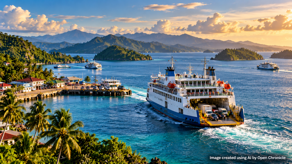
In many countries, roads and railways form the backbone of domestic transportation.
In the Philippines, maritime routes perform part of the same function.
Roll-on/roll-off ferries, known as RoRo vessels, can transport vehicles, passengers and goods between islands.
They allow trucks and buses to continue journeys across a network of roads and sea crossings.
The Philippine Nautical Highway System was developed to improve these connections.
The Maritime Industry Authority also recognises missionary routes: maritime links serving locations where commercial demand may be insufficient to sustain ordinary shipping services.
These routes can be important for communities whose access to markets, healthcare and public institutions depends on maritime transport.
The implication is striking: a ferry connection can have consequences far beyond tourism or commerce.
It may determine whether a community can obtain medicine, receive construction materials or transport agricultural products to market.
How Many Passenger Vessels Serve the Philippines?
Understanding the scale of maritime transport
across the Philippine archipelago.
Reported by the Philippine Maritime Industry
Authority (MARINA). This figure covers different
categories of domestic passenger vessels,
not exclusively ferries.
Registered domestic passenger vessels
reported for 2024.
Calculated change in the reported
registered passenger-vessel total
between 2024 and 2025.
Reported roll-on/roll-off vehicle movements
through Philippine ports. This measures
vehicle traffic, not the number of ferries.
The figure of 4,138 should not be interpreted
as the exact number of ferries operating in
the Philippines. Official passenger-vessel
statistics encompass different types of ships,
while registration figures do not necessarily
indicate how many vessels are actively sailing
on a particular day. Nevertheless, these
statistics help illustrate the importance
of maritime connections for mobility, trade
and everyday life across the country’s islands.
Philippine Maritime Industry Authority (MARINA),
statistical reports for 2024 and 2025;
Philippine port statistics for Ro-Ro vehicle movements.
Figures should be interpreted according to their
respective statistical definitions and reporting periods.
·
UNDERSTAND HOW THE WORLD WORKS
9. How Are Electricity, Water and Telecommunications Provided?
Each service faces a different geographical problem.
Electricity may be supplied through major power networks or smaller isolated systems. Remote islands can depend on local generation, including diesel-powered systems, with renewable energy and storage offering alternatives in suitable locations.
Water provision depends on local freshwater resources, rainfall, treatment facilities and distribution infrastructure.
Telecommunications require towers, transmission links, electricity and maintenance. Submarine fibre-optic cables can connect islands to larger communication networks, while satellite services can support locations where terrestrial connections are limited.
These infrastructures are interdependent.
A communications tower needs power. A health facility needs clean water. A postal office needs transport and communications.
The failure of one system can disrupt several others.
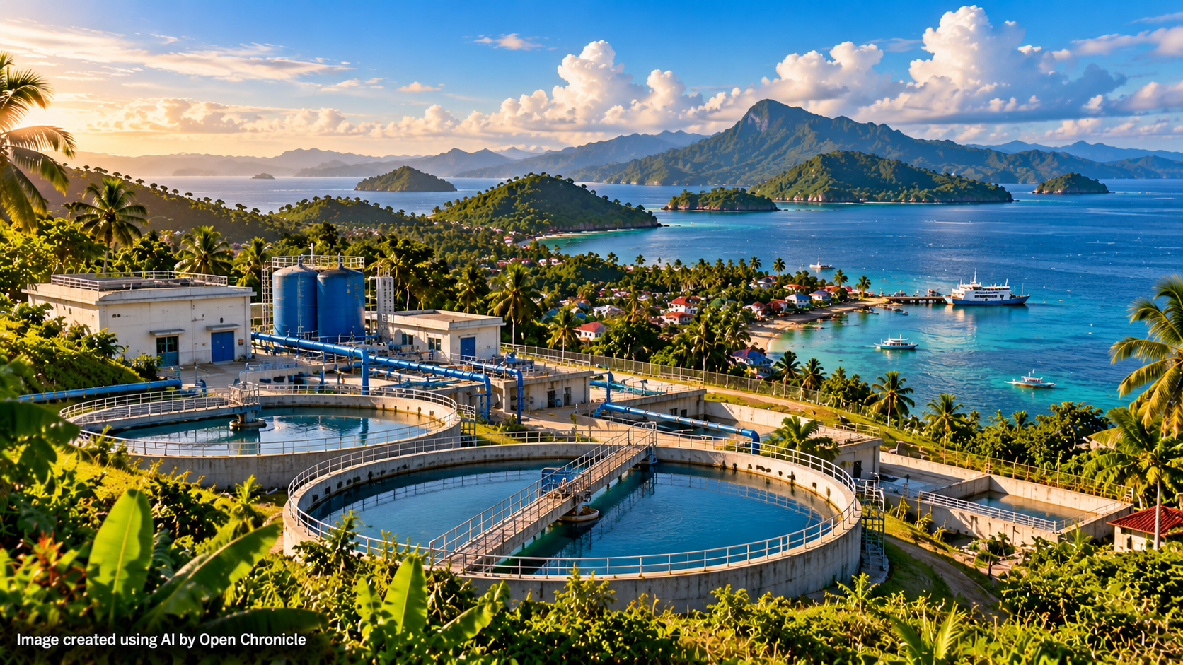
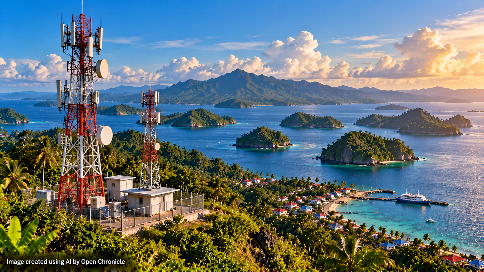
How Are Electricity, Water and Telecommunications Provided?
Connecting communities across thousands of islands
requires different infrastructure systems,
technologies and local solutions.
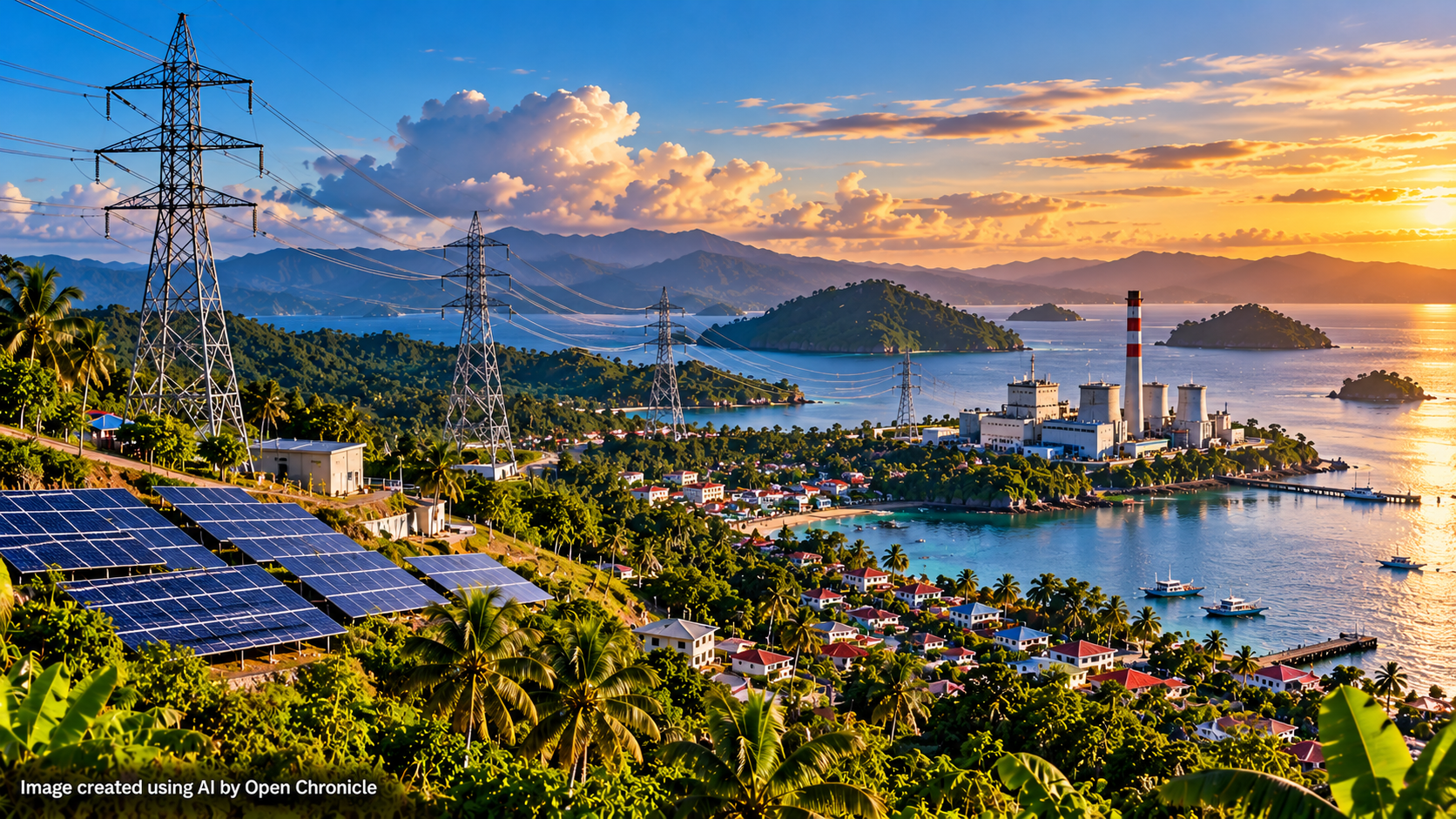
Connecting 7,641 Islands
The Philippines’ geography makes essential
infrastructure unusually complex. Mountains,
maritime distances, storms and uneven population
distribution affect how electricity, drinking
water and communications services are developed
and maintained. Large urban centres may benefit
from extensive networks, while isolated communities
often require smaller, locally adapted solutions.
Building and repairing infrastructure across
separate islands can also involve substantial
logistical and financial challenges.
Electricity, water and telecommunications do
not reach every Philippine island through a
single nationwide physical network. Different
communities depend on combinations of
interconnected infrastructure, local systems
and independent solutions. Access and reliability
therefore differ from one location to another.
Images are AI-generated editorial illustrations
representing infrastructure systems and are not
photographs of specific facilities.
·
UNDERSTAND HOW THE WORLD WORKS
10. What Role Do Local Governments Play?
Local governments are essential because they understand the practical conditions of their communities.
A national ministry may design a programme, but municipal officials often know which villages are hardest to reach, which roads flood and which ferry routes are unreliable.
Provincial and municipal authorities help organise services, maintain local infrastructure, implement programmes and respond to emergencies.
Barangay officials provide another level of local coordination.
However, decentralisation also introduces difficulties.
Wealthier localities may have stronger revenue bases and greater administrative capacity than remote or economically disadvantaged communities.
National funding, transfers and targeted assistance are therefore important in reducing inequalities between jurisdictions.
The central challenge is balancing local knowledge with national standards.
11. What Happens When a Typhoon Strikes?
The Philippines is exposed to tropical cyclones, heavy rainfall, flooding, earthquakes and other natural hazards.
For an island nation, disaster management has an additional complication: transport links can disappear precisely when they are most urgently needed.
A storm may close ports, suspend flights, damage roads and interrupt telecommunications.
This can isolate communities from outside assistance.
Emergency management consequently requires coordination among national agencies, local governments, maritime authorities, emergency responders and community organisations.
Pre-positioned supplies, local evacuation centres and functioning communication systems can be particularly important.
An island’s resilience depends not only on how quickly outside help can arrive, but also on what resources are already available before a disaster.
12. Are All Islands Governed in the Same Way?
No.
The Philippine state has a common constitutional and legal framework, but administrative arrangements and local capacities vary.
A densely populated city in Metro Manila operates under very different conditions from a small island municipality in Palawan.
The Bangsamoro Autonomous Region in Muslim Mindanao also has a special autonomous institutional framework.
Geography, population, economic activity and historical circumstances all influence how public administration works in practice.
The important distinction is between legal inclusion and effective accessibility.
An island can be fully part of the republic while still experiencing difficulties obtaining the same level of services available elsewhere.
13. Could Technology Make Governing the Islands Easier?
Digital government can reduce the need for physical journeys.
Online applications, electronic records, digital payments and remote consultations may allow residents to access services without travelling to a provincial capital.
Telemedicine can connect local healthcare workers with specialists elsewhere.
Digital education can provide additional resources to remote schools.
But technology is not a complete substitute for physical infrastructure.
A medical consultation can happen online, but surgery still requires facilities and professionals. A government certificate can be requested digitally, but a parcel still needs transportation.
Reliable electricity, affordable connectivity and digital literacy are therefore essential.
Technology can reduce some of the disadvantages of distance, but it cannot eliminate geography.
14. What Can Other Island Nations Learn from the Philippines?
The challenges faced by the Philippines are shared, in different forms, by Indonesia, Japan, the Maldives, Fiji, Vanuatu and other island countries.
The number of islands alone does not determine how difficult a country is to administer.
Population distribution, maritime distances, infrastructure, economic resources and institutional arrangements are equally important.
A country with hundreds of widely dispersed inhabited islands may face greater logistical challenges than one with thousands of islands concentrated near a few major population centres.
The Philippine experience illustrates several general principles: local government must be close to communities; national standards require reliable funding; transport networks are public-service infrastructure; and remote communities need contingency arrangements when connections fail.
15. What? How? Why?
WHAT? — What is the Philippines?
An archipelagic republic in Southeast Asia comprising 7,641 islands, organised through national institutions and multiple levels of local administration.
HOW? — How does it administer such a fragmented territory?
Through national agencies, provincial and municipal governments, barangays, regional service networks, maritime and air transport, and increasingly digital infrastructure.
WHY? — Why is governing the archipelago challenging?
Because physical separation affects the cost, speed and reliability of public services, particularly healthcare, education, postal delivery, emergency response and infrastructure maintenance.
Conclusion — The Sea Is Both a Barrier and a Connection
From a distance, the Philippines appears as thousands of fragments scattered across the western Pacific.
But its administrative reality is more complex.
The islands are connected by law, government institutions, trade, family networks, transportation systems and a shared national identity.
A school on a small island, a postal office in a provincial town and a hospital in a major city all form part of a wider national system.
The challenge is ensuring that those connections work not only on paper, but in everyday life.
For an archipelagic nation, geography is never merely a background feature. It influences how public money is spent, where infrastructure is built and how citizens experience the state.
The Philippines demonstrates that governing a country is not simply a matter of drawing borders on a map. It is also the continuous task of connecting the people who live within them.
Sources and Further Reading
Official institutional resources and academic research supporting this explanation of Philippine geography, administration, public services and inter-island connectivity.
Philippine Statistics Authority — Philippine Standard Geographic Code
Official administrative classifications and the composition of regions, provinces, municipalities and barangays.
Philippine Postal Corporation — Post Office Locator
The nationwide network of postal facilities and their listed services.
Maritime Industry Authority — Maritime Industry Development Plan
Maritime transport infrastructure, RoRo connections and policies for serving less commercially viable routes.
Philippine Department of Health — Underserved Communities
Information about communities facing difficulties accessing primary healthcare and the terminology adopted in recent health planning.
Journal of Global Health Reports — Healthcare on Jomalig Island
A research case study documenting practical barriers to healthcare in an isolated Philippine municipality.
This article explains the administrative and logistical challenges of governing an archipelagic country. Service-delivery examples illustrate how systems may operate and should not be interpreted as evidence that every Philippine island receives the same level or frequency of service. Administrative figures and programme references reflect information available through October 2026.
·
UNDERSTAND HOW THE WORLD WORKS
Understanding the systems behind the headlines.