
How a Spanish expedition crossed the Isthmus of Panama, reached the shores of an ocean previously unknown to Europeans from the American side and transformed the geographical understanding of the early modern world.
By Open Chronicle History Desk
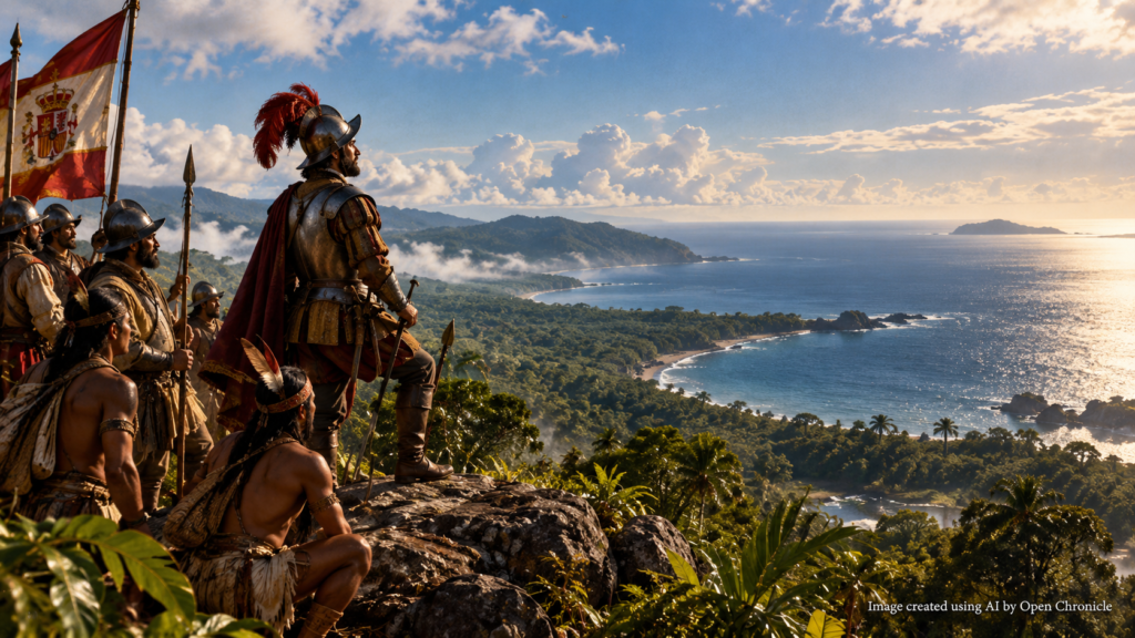
On September 25, 1513, Spanish explorer Vasco Núñez de Balboa climbed a mountain ridge in what is now Panama and looked towards an immense expanse of water stretching beyond the tropical landscape.
He had reached a vantage point from which he could see the Pacific Ocean.
For Europeans, this was a major geographical discovery. It demonstrated that another great ocean lay beyond the American continent, separating the lands encountered by Atlantic explorers from the distant regions of Asia.
For the Indigenous peoples of Central America, however, the ocean was neither unknown nor newly discovered.
Their communities had inhabited the region for thousands of years, developing extensive knowledge of its coastlines, rivers, mountains and maritime environments.
Balboa’s achievement must therefore be understood within two different historical contexts.
It represented an important milestone in European exploration and geographical knowledge, while also forming part of the Spanish conquest and colonisation of Indigenous territories.
The expedition crossed difficult terrain, relied heavily on Indigenous knowledge and assistance, and involved armed confrontations with local communities.
Four days after Balboa first sighted the ocean, his expedition reached its shores.
He named it the South Sea, or Mar del Sur, and claimed it for the Spanish Crown.
The ocean would later become known to Europeans as the Pacific.
The events of September 1513 helped reshape European geographical understanding and opened a new phase of Spanish imperial expansion.
1. The World Before Balboa’s Discovery
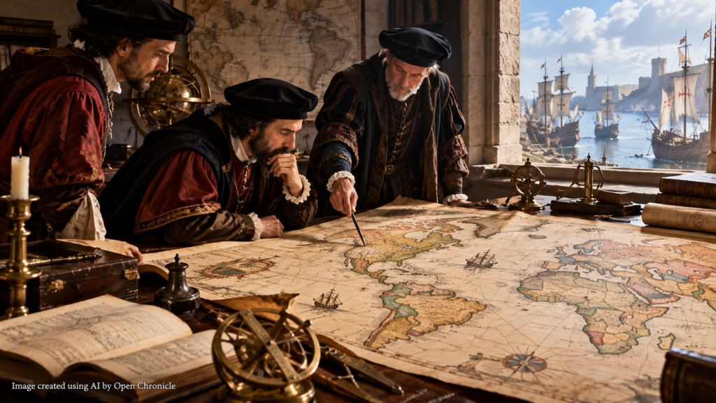
At the beginning of the sixteenth century, European geographical knowledge was undergoing rapid transformation.
Christopher Columbus had reached the Caribbean in 1492 while attempting to establish a westward maritime route to Asia.
His voyages brought sustained European attention to the Americas, although Indigenous societies had inhabited the continents for thousands of years.
Other navigators subsequently explored the Atlantic coastlines of South and Central America.
In 1500, the Portuguese navigator Pedro Álvares Cabral reached the coast of present-day Brazil.
In 1501 and 1502, expeditions associated with Amerigo Vespucci contributed to the growing European understanding that the lands across the Atlantic were not simply the eastern shores of Asia.
Nevertheless, important geographical questions remained unresolved.
How far did the American landmass extend?
Was there a navigable passage connecting the Atlantic Ocean with the waters beyond it?
Could Europeans reach the lucrative markets of Asia by sailing west?
The search for answers encouraged further exploration and conquest.
Balboa’s expedition would provide important evidence concerning the geographical relationship between the Americas and the ocean to their west.
2. Vasco Núñez de Balboa: From Settler to Explorer

Balboa was born around 1475 in Jerez de los Caballeros, in the Spanish region of Extremadura.
He travelled to the Americas during the early period of Spanish overseas expansion.
In 1501, he participated in an expedition associated with Rodrigo de Bastidas, which explored sections of the northern coast of South America.
Balboa subsequently settled on the island of Hispaniola, where he attempted to establish himself as a farmer.
His agricultural ventures were unsuccessful, and he accumulated debts.
In 1510, he joined an expedition travelling towards the mainland of Central America.
He eventually became a leading figure in the Spanish settlement of Santa María la Antigua del Darién, established in the region of present-day Colombia.
The settlement became an important base for Spanish operations along the Caribbean coast.
Balboa’s growing influence brought him into contact with Indigenous leaders who possessed knowledge of the territories beyond the Spanish settlements.
That knowledge would become essential to his most famous expedition.
3. The Indigenous Knowledge That Made the Expedition Possible
The Isthmus of Panama was home to numerous Indigenous communities long before Europeans arrived.
These societies possessed established political structures, agricultural systems, trade networks and detailed geographical knowledge.
They understood the routes connecting the Caribbean coast with the Pacific side of the isthmus.
They also maintained relationships with communities living along both coastlines.
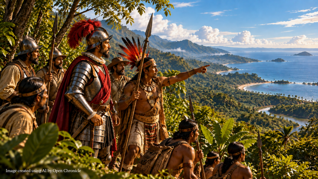
Balboa learned about the existence of a great sea to the south through information obtained from Indigenous inhabitants.
One important account concerns the Indigenous leader Comagre and his son, commonly identified in Spanish chronicles as Panquiaco.
According to the chronicles, Panquiaco informed the Spaniards about wealthy lands and another sea beyond the mountains.
The accounts also connected these territories with sources of gold.
The information encouraged Balboa to organise an expedition across the isthmus.
Indigenous guides, porters and local geographical knowledge were indispensable to the undertaking.
Without their assistance, the Spanish expedition would have faced even greater difficulties navigating the region’s forests, rivers and mountainous terrain.
The historical narrative of Balboa’s achievement therefore cannot be separated from the contributions of the Indigenous peoples who already knew the ocean and the routes leading towards it.
4. The Search for Gold and the South Sea
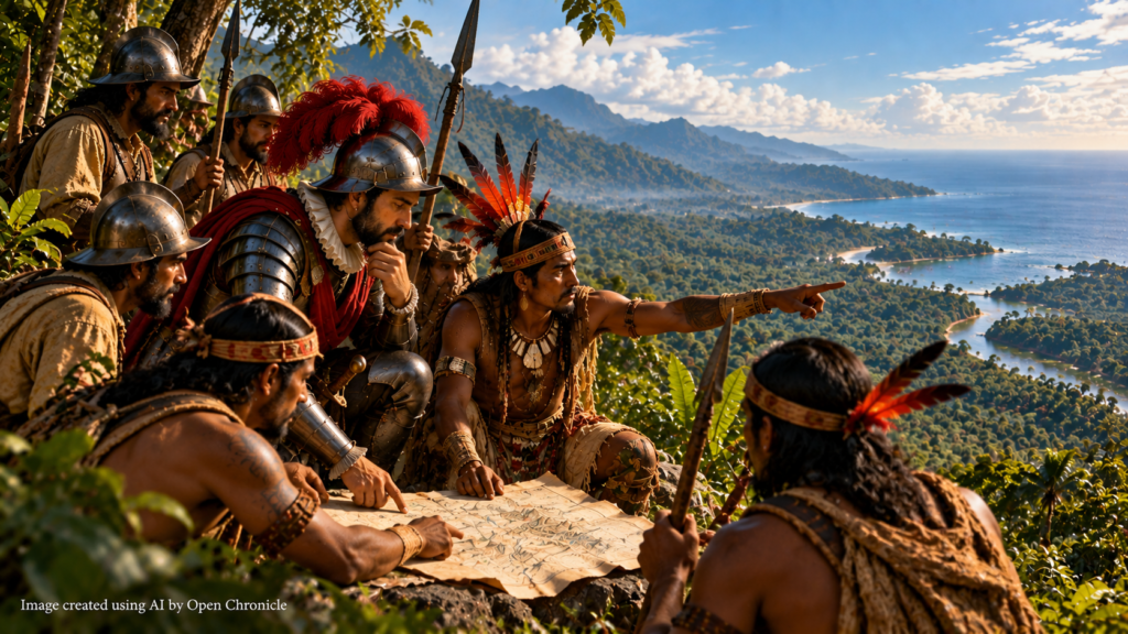
Balboa’s expedition was motivated by several interconnected objectives.
The search for gold was particularly important.
Spanish expeditions frequently sought valuable resources, new territories and opportunities to establish profitable colonial settlements.
Balboa also hoped that a major geographical discovery would strengthen his position with the Spanish Crown.
His authority in Darién had been challenged, and he faced uncertainty concerning his political future.
Finding the reported sea beyond the mountains offered the possibility of obtaining royal recognition and securing new opportunities for exploration and conquest.
The expedition was therefore not simply a scientific journey.
It combined geographical curiosity, personal ambition, economic interests and imperial expansion.
Balboa assembled a force of Spanish soldiers accompanied by Indigenous guides and auxiliaries.
Their objective was to cross the narrow but difficult landmass separating the Caribbean coast from the ocean to the south.
5. September 1513: The Expedition Begins
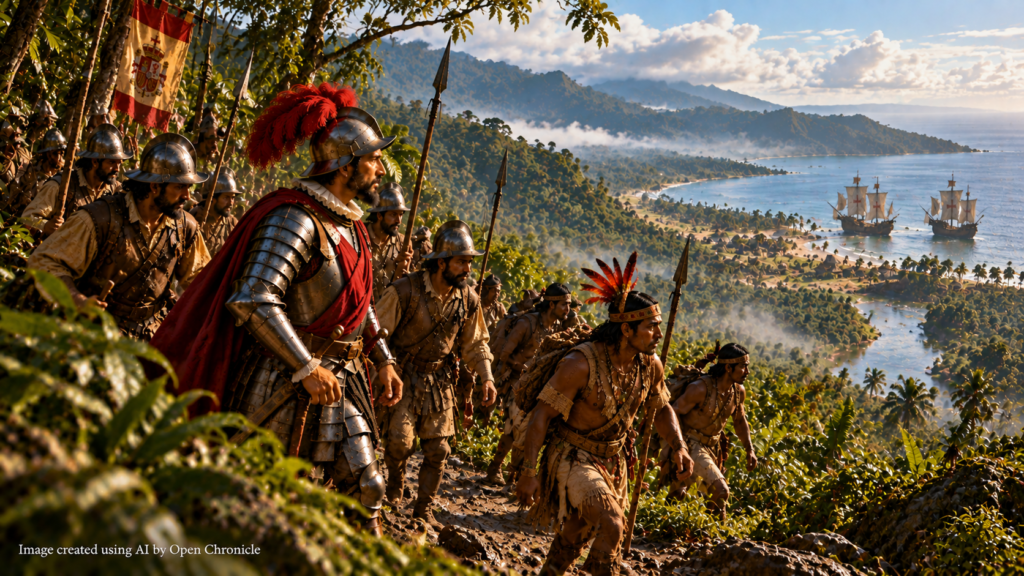
On September 1, 1513, Balboa departed from Santa María la Antigua del Darién.
His expedition initially travelled by sea along the Caribbean coast before continuing overland.
The party encountered dense tropical forests, rivers, mountainous terrain and difficult weather conditions.
The crossing required considerable physical endurance.
The Spaniards were unfamiliar with much of the landscape and depended heavily upon Indigenous assistance.
The expedition also passed through territories controlled by different Indigenous communities.
Some groups provided assistance or entered into agreements with Balboa.
Others resisted the Spanish advance.
Armed confrontations occurred during the journey.
The expedition therefore combined exploration with the military violence characteristic of the early Spanish conquest of the Americas.
As the party advanced towards the mountains, Balboa received further information concerning the location of the sea.
By late September, the expedition was approaching the watershed separating the Caribbean drainage basin from the Pacific side of the isthmus.
6. September 25, 1513: The First Sight of the Pacific
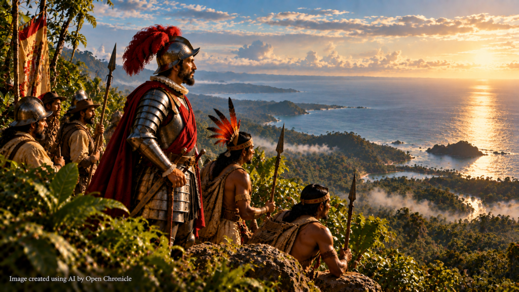
On September 25, Balboa reached a mountain ridge from which the distant ocean could be seen.
According to traditional accounts, he moved ahead of his companions so that he could be the first member of the expedition to observe the sea.
From the elevated position, he saw an immense expanse of water stretching towards the horizon.
The sight confirmed the reports that another ocean existed beyond the American landmass.
Balboa subsequently called his companions forward.
The expedition had achieved its principal geographical objective.
For European observers, the discovery provided important evidence that the lands encountered across the Atlantic were separated from Asia by another great body of water.
The event also demonstrated the strategic importance of the Isthmus of Panama.
The narrow landmass connected North and South America while separating two vast oceans.
Its geography would eventually make it one of the most important regions in the history of international maritime transportation.
7. September 29: Balboa Reaches the Ocean
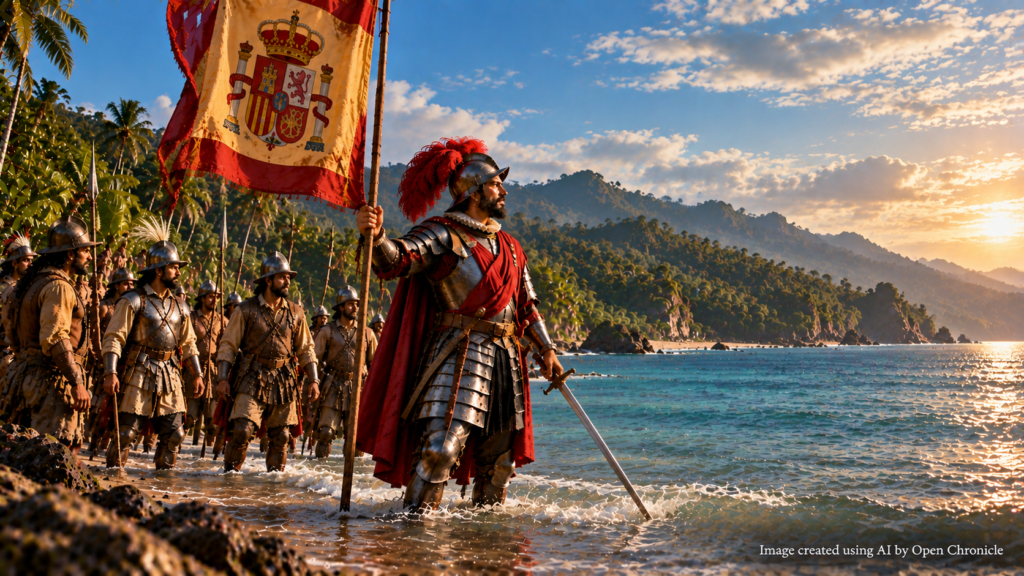
Although Balboa first sighted the ocean on September 25, he did not reach its shoreline that day.
The expedition continued towards the coast.
On September 29, 1513, Balboa reached the waters of the Gulf of San Miguel, on the Pacific side of present-day Panama.
Spanish chronicles describe a ceremony in which Balboa entered the water carrying a sword and a royal banner.
He formally claimed the sea and surrounding territories for the Spanish Crown.
The ceremony reflected European imperial practices of asserting sovereignty over territories encountered during exploration.
Such declarations did not recognise the existing political authority, territorial relationships or rights of Indigenous societies.
Balboa named the ocean the South Sea because it lay south of his position on the isthmus.
The name would remain common in Spanish geographical usage for many years.
The expedition’s discovery encouraged further Spanish interest in the Pacific coast of the Americas.
8. Why Was It Called the South Sea?
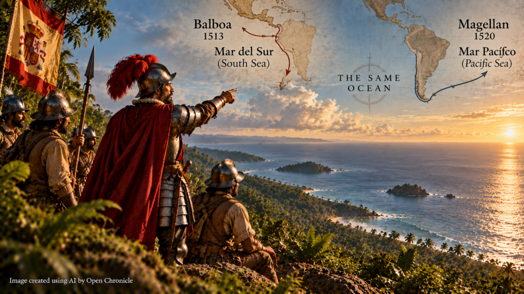
The name Mar del Sur reflected the geographical perspective of Balboa and his companions.
From their position on the Caribbean side of Panama, they had travelled generally southward to reach the ocean.
The body of water they encountered therefore became known as the South Sea.
The name did not describe the full geographical extent of the ocean.
It reflected the particular route by which the expedition reached it.
In 1520, the Portuguese navigator Ferdinand Magellan entered the same ocean after passing through the strait at the southern end of South America.
Magellan named it the Mar Pacífico, meaning Pacific Sea, because the waters initially appeared comparatively calm.
The name Pacific gradually became established in European geographical terminology.
Balboa’s South Sea and Magellan’s Pacific were the same ocean, encountered from different directions during separate expeditions.
9. The Geographical Importance of the Discovery
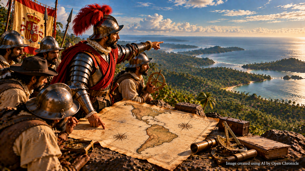
Balboa’s expedition contributed to a fundamental transformation in European geographical knowledge.
Before 1513, Europeans had explored substantial sections of the Atlantic coast of the Americas.
But the relationship between those lands and the ocean beyond them remained uncertain.
Balboa’s journey demonstrated that a major body of water existed west of the Central American landmass.
This strengthened the understanding that the Americas were geographically distinct from Asia.
It also raised new questions.
How large was the newly encountered ocean?
Could it be crossed by ship?
What lands lay beyond it?
Was there a maritime passage connecting the Atlantic with the Pacific?
The search for answers would encourage further expeditions.
The most famous would be the voyage of Ferdinand Magellan, which departed Spain in 1519.
10. Balboa and the Road to Magellan’s Expedition
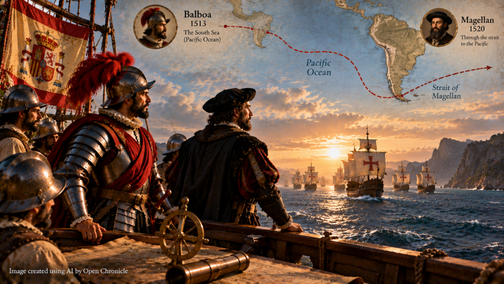
Six years after Balboa sighted the Pacific, Ferdinand Magellan departed Spain in search of a westward route to the Spice Islands.
Magellan believed that a navigable passage existed around the southern end of South America.
In 1520, his expedition successfully navigated the strait that would later bear his name.
The fleet then entered the Pacific Ocean.
The crossing revealed that the ocean was vastly larger than European navigators had anticipated.
Magellan died in the Philippines in 1521.
The surviving expedition continued westward.
In September 1522, the Victoria returned to Spain under the command of Juan Sebastián Elcano, completing the first recorded circumnavigation of the Earth.
Balboa’s discovery and Magellan’s expedition were therefore connected stages in the expansion of European geographical knowledge.
Balboa demonstrated the existence of an ocean beyond the American landmass.
Magellan’s expedition established a navigable connection between the Atlantic and Pacific and revealed the extraordinary scale of the ocean separating the Americas from Asia.
11. The Pacific Was Already a World of Navigation and Trade
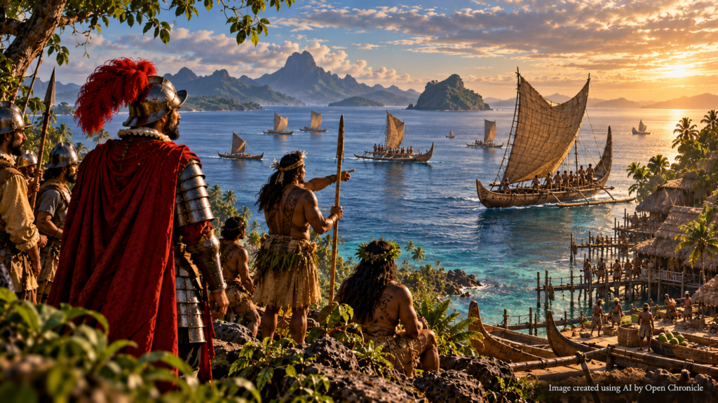
The European encounter with the Pacific must be placed within a much broader historical context.
The ocean had been explored and navigated by Indigenous peoples for thousands of years.
Austronesian-speaking communities developed sophisticated maritime traditions that supported migration and trade across island Southeast Asia and the Pacific.
Polynesian navigators undertook extraordinary long-distance voyages using knowledge of stars, ocean swells, winds, birds and other environmental indicators.
Their ancestors settled islands across vast areas of the Pacific long before European ships entered the region.
The Pacific was also connected to extensive Asian maritime trade networks.
Communities along the coasts of East Asia, Southeast Asia and the Americas possessed their own histories of navigation, fishing and coastal exchange.
Balboa’s expedition therefore did not reveal an unknown ocean to humanity.
It introduced European explorers to an ocean already known, inhabited and navigated by numerous societies.
This distinction is essential to understanding the historical significance of September 25, 1513.
12. The Spanish Expansion Along the Pacific Coast

Balboa’s discovery increased Spanish interest in the territories bordering the Pacific.
The possibility of reaching new lands and acquiring valuable resources encouraged further exploration.
Spanish expeditions subsequently travelled along the Pacific coast of Central and South America.
In 1524, Francisco Pizarro began the first of his expeditions towards the territories of the Inca civilisation.
The Spanish conquest of the Inca Empire began in the early 1530s.
These developments had devastating consequences for Indigenous societies.
Military conquest, forced labour, political disruption and epidemic diseases contributed to profound demographic and social transformations.
The Pacific coast also became an important route for Spanish colonial administration and commerce.
Ports established along the western side of the Americas connected inland territories with maritime networks.
Over time, these routes would become part of a wider system linking the Americas, Asia and Europe.
13. Balboa’s Political Conflict and Downfall
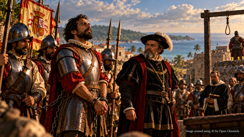
Despite his geographical achievement, Balboa’s political position remained insecure.
The Spanish Crown appointed Pedro Arias Dávila, commonly known as Pedrarias, as governor of Castilla de Oro.
Pedrarias arrived in the region in 1514.
Relations between the two men were marked by rivalry and suspicion.
Balboa continued pursuing exploration and shipbuilding projects on the Pacific side of the isthmus.
He hoped to organise further expeditions along the newly encountered ocean.
However, Pedrarias came to regard Balboa as a political threat.
In 1519, Balboa was arrested and accused of treason.
He was tried and executed at Acla, in present-day Panama.
His death ended a career that had combined exploration, colonial administration, military conquest and political ambition.
Balboa was approximately 44 years old.
He did not live to witness the later Spanish expeditions that would transform the Pacific into a major route of imperial expansion and international trade.
14. The Isthmus of Panama: A Strategic Crossroads
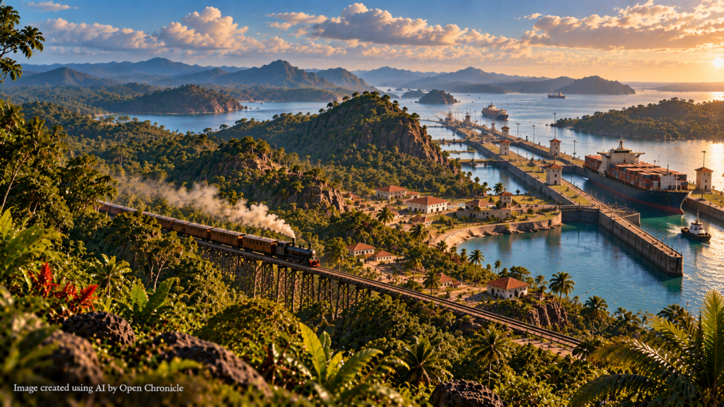
The geographical importance of Panama extended far beyond the sixteenth century.
The isthmus forms a narrow land connection between North and South America.
It also separates the Atlantic and Pacific Oceans.
For centuries, travellers and merchants sought efficient ways to move between the two maritime regions.
During the Spanish colonial period, routes across Panama became important for transporting goods and precious metals.
In the nineteenth century, the construction of the Panama Railroad created a faster connection between the Atlantic and Pacific coasts.
The railway opened in 1855.
The most significant transformation came with the construction of the Panama Canal.
Opened in 1914, the canal established a navigable maritime passage through the isthmus.
Ships could now travel between the Atlantic and Pacific without undertaking the long journey around South America.
The geographical relationship that Balboa’s expedition had helped bring to European attention became central to one of the most important engineering projects in modern transportation history.
15. The Panama Canal and the Legacy of the South Sea
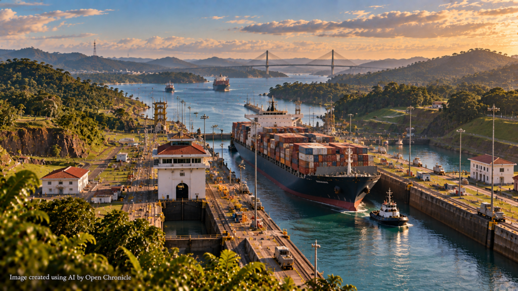
The Panama Canal fundamentally changed global maritime transportation.
Its opening reduced the distance required for many voyages between ports on the Atlantic and Pacific Oceans.
The canal became an important route for international trade and naval movement.
Its construction, however, was also shaped by imperial politics, labour exploitation, engineering difficulties and public health challenges.
The United States played a central role in the canal’s construction and administration during much of the twentieth century.
Panama assumed full control of the canal on December 31, 1999.
The canal’s history demonstrates the enduring strategic importance of the isthmus.
Balboa’s expedition had crossed the region overland in 1513.
Four centuries later, engineers created an artificial waterway through the same geographical barrier.
The ocean that Balboa named the South Sea had become directly connected to the Atlantic through one of the world’s most important maritime passages.
16. How Should Balboa’s Achievement Be Remembered?
The historical significance of Balboa’s expedition involves both geographical achievement and colonial conquest.
From the perspective of European exploration, the expedition provided important evidence concerning the geography of the Americas and the existence of the Pacific Ocean beyond the isthmus.
It helped encourage further maritime expeditions and contributed to the expansion of European geographical knowledge.
But the expedition also formed part of the Spanish colonisation of Indigenous territories.
Its success depended upon knowledge provided by communities that had inhabited the region long before Europeans arrived.
Its passage through the isthmus involved armed conflict, coercion and the assertion of Spanish sovereignty over lands already occupied by Indigenous societies.
A complete historical account must recognise both dimensions.
Balboa’s expedition was an important event in the history of European exploration.
It was also part of a broader process of conquest that profoundly affected the peoples of the Americas.
17. Why September 25 Matters
September 25, 1513, marks a significant turning point in the development of European geographical knowledge.
On that date, Vasco Núñez de Balboa became the first documented European to see the Pacific Ocean from the Americas.
His expedition confirmed that another great ocean lay beyond the American landmass.
The discovery helped transform European understanding of the relationship between the Atlantic, the Americas and Asia.
It also encouraged further exploration of the Pacific coast and contributed to the expansion of Spanish imperial ambitions.
The event’s wider historical significance extends to the development of transpacific navigation, colonial trade and the strategic importance of Panama.
Yet the ocean Balboa encountered was already familiar to Indigenous peoples.
Their geographical knowledge and assistance were essential to the expedition.
Remembering September 25 therefore requires recognising the encounter between different systems of geographical knowledge, as well as the consequences of European colonial expansion.
September 25, 1513: The Ocean Beyond the Mountains
Imagine the tropical mountains of Panama on September 25, 1513.
A Spanish expedition has spent weeks travelling through dense forests, crossing rivers and negotiating difficult terrain.
Its members have followed routes known to the Indigenous communities who inhabit the region.
They have heard accounts of a great sea beyond the mountains.
Now they are approaching the highest point of their journey.
Vasco Núñez de Balboa moves ahead of his companions.
He climbs towards a ridge overlooking the landscape.
The forest opens.
Beyond the mountains, an immense expanse of water stretches towards the horizon.
Balboa has reached a vantage point overlooking the Pacific Ocean.
For the Indigenous peoples of the region, the sea is part of a familiar geographical world.
For Balboa and his companions, it represents the confirmation of a remarkable possibility.
The American landmass does not extend indefinitely westward.
Another ocean lies beyond it.
The expedition will reach its shores four days later.
Balboa will claim the waters and surrounding territories for the Spanish Crown.
Further expeditions will follow.
In 1520, Magellan’s fleet will enter the same ocean from the southern end of South America.
In 1522, the Victoria will complete the first recorded circumnavigation of the Earth.
Over the following centuries, the Pacific will become a major route connecting the Americas, Asia and Oceania through trade, migration, conquest and cultural exchange.
But on September 25, 1513, the immediate scene is much simpler.
A group of exhausted travellers stands above a tropical landscape.
An ocean extends before them.
And a new chapter in the history of European exploration has begun.
Historical Sources and Further Reading
Explore the historical scholarship, institutional resources and reference materials behind this article on Vasco Núñez de Balboa and the European encounter with the Pacific Ocean in 1513.
Vasco Núñez de Balboa
Biographical information, the 1513 expedition across the Isthmus of Panama, the sighting of the Pacific Ocean and Balboa’s subsequent political career.
Pacific Ocean: Exploration and Historical Geography
The history of Pacific navigation, European exploration and the geographical significance of the world’s largest ocean.
The Panama Canal and the History of Global Connections
Historical and educational resources concerning the geographical importance of Panama and the development of maritime connections between the Atlantic and Pacific Oceans.
The Spanish Exploration of the Americas
A historical examination of early Spanish expansion, Indigenous societies and the political and economic motivations behind European exploration.
J. H. Elliott,
Empires of the Atlantic World: Britain and Spain in America 1492–1830
(2006).
Open Chronicle History draws upon historical scholarship, institutional archives and reference materials to explore the events, individuals and developments that shaped the world. Historical accounts of European exploration are presented within their broader context, including the experiences and contributions of Indigenous societies.