
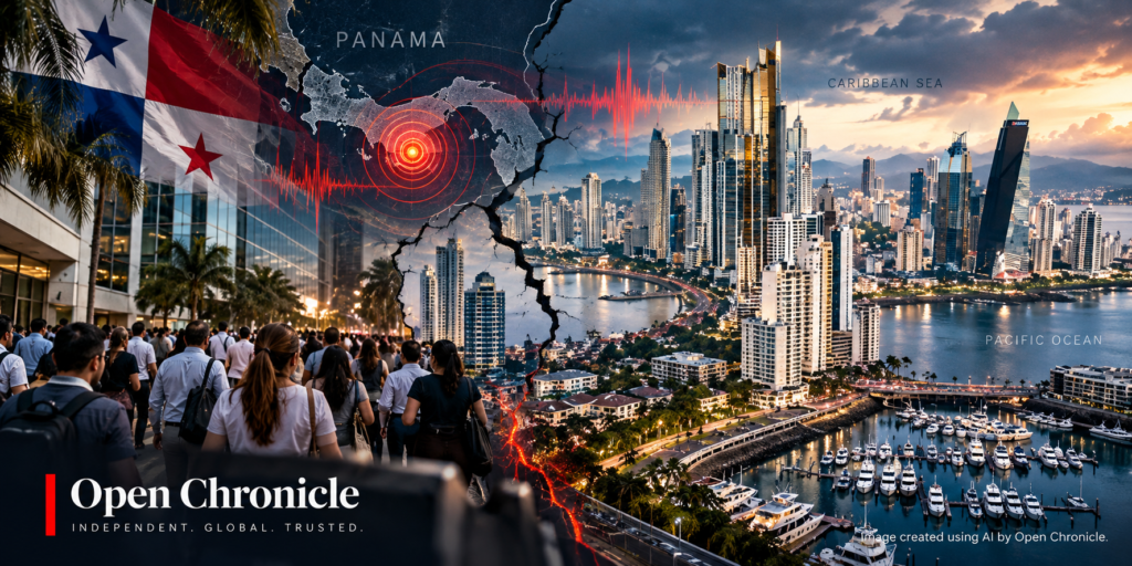
A powerful earthquake struck central Panama on Friday morning, shaking buildings in Panama City, damaging structures in several provinces and prompting tsunami warnings along parts of the Pacific coast of Central and South America. Authorities have urged residents to remain calm as emergency teams assess the destruction and monitor continuing aftershocks.
By Open Chronicle with agencies
October 9, 2026
A powerful magnitude 7.7 earthquake struck Panama on Friday morning, sending residents fleeing from buildings, damaging infrastructure in central provinces and triggering tsunami warnings affecting several countries along the Pacific coast.
According to preliminary information attributed to the United States Geological Survey (USGS), the earthquake occurred approximately 10 kilometres southwest of Pitaloza Arriba, a remote community in Panama’s central Herrera province.
The quake was reported at a depth of approximately 10 kilometres, making it a relatively shallow seismic event capable of producing intense ground shaking near its epicentre.
Tremors were felt across Panama, including in the capital, Panama City, and reportedly extended into neighbouring Colombia.
Residents described buildings shaking violently, household objects falling and widespread fear as people rushed into streets and open spaces.
Emergency authorities began assessing possible damage shortly after the earthquake, while aftershocks continued to unsettle communities.
No casualties had been immediately confirmed in the initial reports.
Strong Tremors Send Residents Into the Streets
The earthquake caused alarm across Panama, with residents leaving homes, offices and commercial buildings as the ground shook.
In Panama City, where the skyline includes hundreds of high-rise buildings, people gathered outside while waiting for information about the earthquake’s magnitude and possible consequences.
Although the capital experienced strong tremors, authorities initially reported no significant structural damage there.
The situation was more concerning in central Panama, particularly in communities closer to the epicentre.
Rosendo Domínguez, a 60-year-old resident of Herrera province, described the intensity of the earthquake in comments to The Associated Press.
“We felt it very strongly. It knocked things over in the kitchen, but we’re okay, though we’re very scared,” he said.
“Everyone is outside, scared.”
His account reflected the anxiety experienced by residents as aftershocks continued following the initial earthquake.
In areas close to the epicentre, emergency officials were working to establish whether buildings, roads and essential services had sustained serious damage.
Damage Reported in Herrera, Veraguas and Los Santos
Panama’s National Civil Protection Service identified the central provinces of Herrera, Veraguas and Los Santos as the principal areas of concern.
Omar Smith, a representative of the emergency agency, told the television programme Telemetro Reporta that damage appeared to be concentrated in those provinces.
The assessment remained preliminary, with authorities continuing to gather information from affected communities.
Some rural areas near the epicentre could face particular challenges because damaged roads, disrupted communications or unstable buildings may complicate emergency assessments.
Smith also indicated that there had been no reports of damage in Panama City at the time of his statement.
That initial assessment offered some reassurance for residents of the capital, although officials continued monitoring the situation.
Emergency teams were expected to prioritize locations where the shaking had been strongest and where buildings might have suffered structural damage.
Cathedral Collapse and Hotel Damage Reported in Penonomé
Images broadcast by local news organizations showed significant damage in Penonomé, a city in Panama’s central Coclé province.
Video footage reportedly showed a Catholic cathedral collapsing during the earthquake.
Other images showed part of a hotel’s facade falling onto a vehicle.
The incidents illustrated the potentially destructive force of the seismic event, particularly in buildings vulnerable to intense ground movement.
At the time of the initial reporting, no casualties had been confirmed in connection with the structural damage.
Authorities had not yet provided a comprehensive assessment of the condition of public buildings, historical structures or residential properties.
The reported collapse of a religious building also raised concerns about the vulnerability of older structures during major earthquakes.
Buildings constructed before modern seismic design requirements may be particularly susceptible to structural failure, depending on their construction and condition.
However, the causes of the specific damage reported in Penonomé had not yet been established.
Tsunami Warnings Issued for Five Countries
The earthquake prompted a tsunami warning reported by the United States National Weather Service for Pacific coastal areas in several countries.
The initial warning covered:
-
Panama
-
Colombia
-
Ecuador
-
Nicaragua
-
Guatemala
The warning reflected concern that a powerful seismic event could generate dangerous sea-level disturbances.
A tsunami can occur when an earthquake causes sudden displacement of the seabed, transferring energy into the water above.
However, not every powerful earthquake generates a tsunami.
The level of danger depends on factors including the earthquake’s location, depth, fault movement and whether substantial vertical displacement occurs beneath the ocean.
The supplied reports did not establish that a tsunami had actually been generated or that destructive waves had reached the coast.
Residents in areas subject to official tsunami warnings should follow instructions from national emergency authorities, including evacuation orders where issued.
Coastal communities may remain at risk from dangerous currents and changing sea levels even when the first observed waves appear relatively small.
The status of the reported warnings may change as monitoring agencies receive additional seismic and oceanographic data.
President Mulino Calls for Calm
Panamanian President José Raúl Mulino urged the population to remain calm following the earthquake.
In a message published on X, the president warned against spreading panic or creating disorder during the emergency.
“What happened should not be used to cause alarm or disorder,” Mulino wrote.
His appeal came as emergency services worked to assess the extent of the damage and determine whether additional measures were necessary.
During major earthquakes, authorities must often respond to several challenges simultaneously.
These include coordinating rescue teams, identifying unsafe structures, maintaining communication networks and providing accurate information to the public.
Unverified reports circulating through social media can complicate those efforts, particularly when residents are already concerned about aftershocks or possible tsunamis.
The government therefore faces the task of maintaining public confidence while ensuring that communities receive timely safety instructions.
Aftershocks Increase Anxiety Across Affected Communities
Aftershocks continued to be reported shortly after the initial earthquake.
These smaller seismic events occur as the Earth’s crust adjusts following a major rupture.
Although most aftershocks are weaker than the original earthquake, some can still be powerful enough to damage buildings already weakened by the first shock.
The possibility of additional shaking is especially important for residents in areas where structural damage has been reported.
Emergency officials generally advise people to avoid entering visibly damaged buildings until qualified specialists have assessed their safety.
Falling debris, unstable walls and damaged electrical installations can present serious risks after an earthquake.
The frequency and intensity of aftershocks typically decline over time, although the sequence can continue for days, weeks or longer.
Scientists cannot predict the exact timing or magnitude of individual aftershocks.
For communities in central Panama, the continued shaking has added uncertainty to an already difficult situation.
Why Panama Is Vulnerable to Powerful Earthquakes
Panama lies within a geologically complex region influenced by the interaction of several tectonic plates.
The country forms part of the wider Pacific seismic zone commonly known as the Ring of Fire.
The Pacific Ring of Fire
The Ring of Fire extends approximately 40,000 kilometres around much of the Pacific Basin and contains numerous active faults and volcanoes.
It is associated with a large proportion of the world’s earthquakes.
The region’s seismic activity results from the movement and interaction of tectonic plates.
As these plates move, stress can accumulate along faults.
When the accumulated stress exceeds the strength of the surrounding rock, energy is suddenly released, producing an earthquake.
Panama’s position near several tectonic boundaries makes parts of the country susceptible to significant seismic events.
The intensity of shaking experienced at the surface depends on several factors, including the earthquake’s magnitude, depth, distance from the fault and local geological conditions.
Soft sediments can amplify seismic waves, while different building types respond differently to ground movement.
Why a Shallow Earthquake Can Be Especially Destructive
The reported depth of approximately 10 kilometres is an important feature of Friday’s earthquake.
Earthquakes occurring relatively close to the surface can produce intense shaking in nearby communities because seismic energy travels a shorter distance before reaching populated areas.
A magnitude 7.7 earthquake releases an enormous amount of energy.
On the moment magnitude scale, each whole-number increase corresponds to approximately 32 times more energy released.
That means a magnitude 7.7 event is substantially more energetic than an earthquake measuring 6.7.
However, magnitude alone does not determine the extent of destruction.
An earthquake in a remote region may cause less damage than a smaller event directly beneath a densely populated city.
Building standards, population density, ground conditions and emergency preparedness all influence the consequences.
In Panama, the reported concentration of damage in central provinces suggests that proximity to the earthquake’s source may have played an important role.
Detailed geological and engineering assessments would be required to establish the precise mechanisms behind the reported structural failures.
Emergency Services Assess Infrastructure and Public Safety
Panama’s National Civil Protection Service said it was investigating possible damage in regions near the epicentre.
The immediate priorities following a major earthquake generally include identifying injured people, assessing damaged buildings and determining whether essential infrastructure remains operational.
Roads, bridges, hospitals, schools and electricity networks may require inspection before normal activities can resume safely.
In rural communities, access can be particularly difficult if landslides or damaged roads disrupt transport routes.
Authorities must also assess the possibility of secondary hazards, including unstable slopes, damaged gas installations and weakened structures.
The supplied information did not include a comprehensive assessment of infrastructure disruption.
It also did not establish whether hospitals, airports, ports or major transport corridors had been affected.
As emergency teams reach additional communities, the scale of the earthquake’s impact may become clearer.
Regional Concern Extends Beyond Panama
Reports that the earthquake was felt in Colombia, together with the initial tsunami warnings for several countries, gave the event a regional dimension.
Large seismic events can produce ground motion detectable hundreds of kilometres from their source.
The strength of shaking experienced in distant locations depends on the earthquake’s characteristics and the geological conditions through which seismic waves travel.
The reported tsunami warnings also required coordination between monitoring agencies and national emergency authorities.
Countries along the Pacific coast maintain procedures for responding to potential tsunami threats, including public alerts and coastal evacuation guidance.
The effectiveness of these systems depends on rapid communication and clear instructions.
In the hours following a major earthquake, preliminary assessments can change as scientists refine their measurements and emergency agencies receive additional reports.
A Major Seismic Emergency With Its Full Impact Still Unknown
Friday’s reported magnitude 7.7 earthquake has created a significant emergency for Panama.
The initial accounts describe powerful shaking, frightened residents, structural damage and continuing aftershocks.
Reports of a cathedral collapse and damage to a hotel in Penonomé indicate that some communities experienced potentially serious destruction.
At the same time, the absence of immediately confirmed casualties provides only a preliminary picture.
Authorities still need to establish the full extent of damage in Herrera, Veraguas, Los Santos and other affected areas.
The reported tsunami warnings have also added urgency to the regional response, although the available information does not confirm that destructive waves occurred.
For Panama, the immediate challenge is to protect residents, inspect damaged infrastructure and maintain reliable communication as aftershocks continue.
The coming hours will be critical in determining the earthquake’s human and economic consequences.
As rescue and assessment operations proceed, the priority remains ensuring that communities receive accurate information and that emergency services can reach the areas most severely affected.
Sources and Further Reading
Seismological data, tsunami monitoring, emergency management records and news reporting concerning the reported October 9, 2026 earthquake in Panama.
United States Geological Survey (USGS)
Earthquake monitoring, preliminary seismic measurements, magnitude assessments and geological information concerning earthquakes in Panama and the surrounding region.
Panama National Civil Protection Service (SINAPROC)
Official emergency information, damage assessments and public safety guidance concerning the earthquake and its aftermath.
United States National Weather Service
Tsunami monitoring and warning information concerning potential coastal hazards following major seismic events.
Pacific Tsunami Warning Center
Regional tsunami monitoring, seismic assessments and warning information for the Pacific Basin.
The Associated Press
Initial reporting from Panama, including eyewitness accounts and statements from local authorities.
Telemetro Reporta
Local reporting on the earthquake, emergency response and statements from Panama’s National Civil Protection Service.
Government of Panama
Official communications from President José Raúl Mulino and relevant national authorities.