
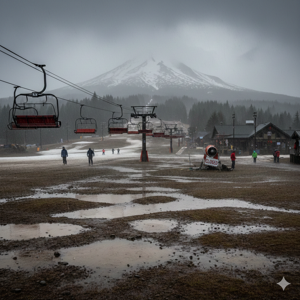
Image Credentials: Image Title: Rain at the Peak: Oregon Ski Resorts Face Brutal Holiday Slump, Forecast Hints at Recovery Source: (Gemini) Date: January 2026. Attribution: This image was created using AI-generated imagery (Gemini) and does not depict a real-world scene.
By Open Chronicle News Desk | January 2, 2026
GOVERNMENT CAMP, OR — It has been a “brutal” holiday season for Oregon’s winter sports enthusiasts. While the period between Christmas and New Year is typically the most lucrative for the state’s ski industry, a persistent lack of snow and record-challenging warmth have left slopes saturated with rain and many lifts grounded.
However, after a week of “saturated snowpacks” and restricted operations, meteorologists are finally offering a glimmer of hope for a significant “snow dump” starting next week.
A Mid-Winter Washout
The primary culprit behind the current crisis is a Southwest flow pattern. This weather system has tapped into warm air masses from the south, pushing snow levels far above the mountain passes and turning what should be powder into heavy, damaging rain.
The impact on major resorts has been severe:
-
Mount Hood Meadows: On January 2, one of Oregon’s largest ski areas was forced to completely shut down. Management cited the need to let water drain from the “saturated snowpack” to prevent long-term damage to the runs.
-
Low-Elevation Resorts: Areas like Hoodoo Ski Area and Willamette Pass Resort have struggled to maintain even a fraction of their normal terrain, with some remaining closed entirely.
Nothing to see here like climate change or anything. 😑Most popular Colorado ski resorts have less than 25% of terrain open for Christmas holiday https://t.co/h4zRpO5qHn
— HeartofColorado (@HeartofColorado) December 28, 2025
The 20-Inch Hope
According to National Weather Service (NWS) meteorologist Tom Schuldt, the pattern is expected to shift early next week. As colder air moves in, snow levels are predicted to drop significantly.
“Once we get into next week, we’ll start to see snow levels drop and much better chances for accumulating snowfall,” Schuldt said.
The forecast suggests that resorts could see between 10 to 20 inches of fresh snow. For lower-elevation spots that have been hardest hit, this could provide the necessary base to finally open more terrain to the public.
A Historical Deficit
Despite the optimism for next week’s storm, officials warn that one “snow dump” will not fix the underlying crisis. Oregon’s current snowpack is sitting at a dismal 25% to 30% of its seasonal normal, ranking as one of the worst years of the decade.
The long-range forecast still lacks a signal for a sustained “cold snap,” meaning the risk of returning to rain remains a threat throughout January.
| Resort / Metric | Current Condition | Next Week Forecast |
| Snowpack | 25-30% of normal | Potential +10-20 inches |
| Mount Hood Meadows | Closed (as of Jan 2) | Expected Reopening |
| Hoodoo / Willamette | Limited/Closed | Significant Accumulation |
| Weather Pattern | Warm Southwest Flow | Cold Front Inbound |
Industry on Edge
For the ski industry, the coming storm is seen as a lifeline. Operating under “saturated” conditions not only ruins the guest experience but can also physically destroy the mountain’s topography, making it harder to maintain trails later in the season. “We need more snow,” Schuldt admitted, “and at least we’re hoping this is something.”